COMMUNITY BASED WATER/SOIL MANAGEMENT PROGRAM THAILAND
Project Name:
Community-based water management, forest conservation, and
food security in the community at the sub-district level
in 3 Doi Areas
Objectives:
-
Raising awareness for urgent need for water management,
reforestation, and food security in the community in Mae
Pang Sub-district, Sop Tia Sub-district, Mae Lan
Sub-district by using the integrated community-based
water management and the King's science to enable
communities to survive in epidemic situations and
climate variability crisis.
-
Creating knowledge and better understanding
community-based water management, soil management,
reforestation, and agriculture within the community
context.
-
Develop community-based water management projects to
create a good quality of life for the community.
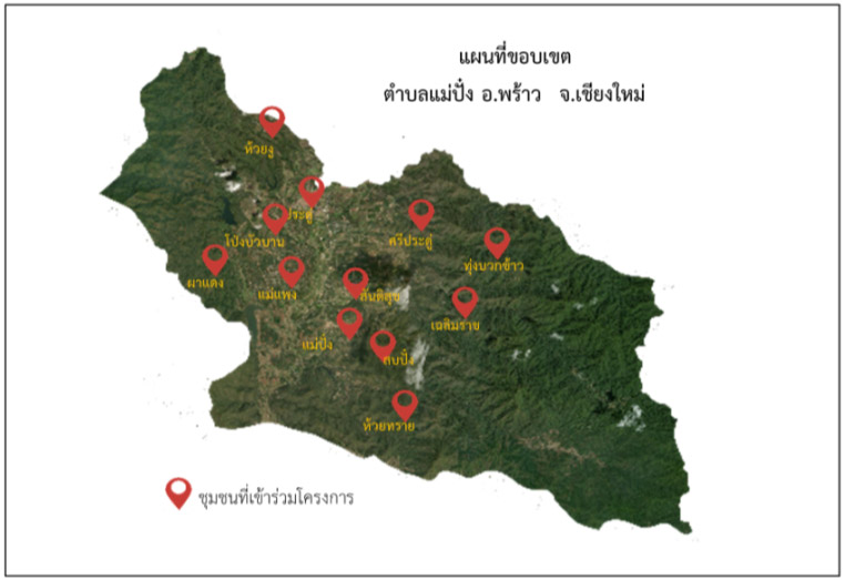
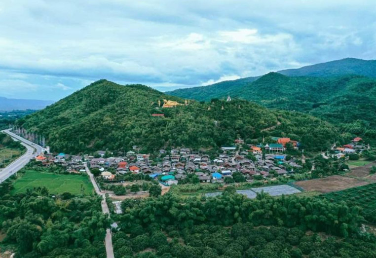
Locations:
Mae Pang Subdistrict, Phrao District, Chiang Mai Province,
Sop Thai Subdistrict, Chom Thong District, Chiang Mai
Province, and Mae Lan Subdistrict, Dok Kham Tai District,
Phayao Province
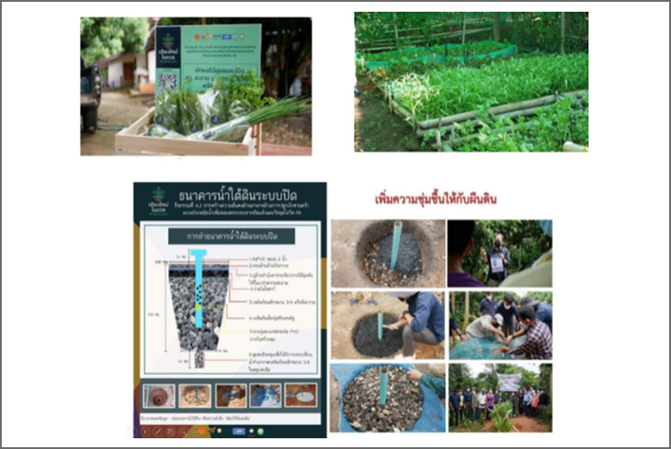
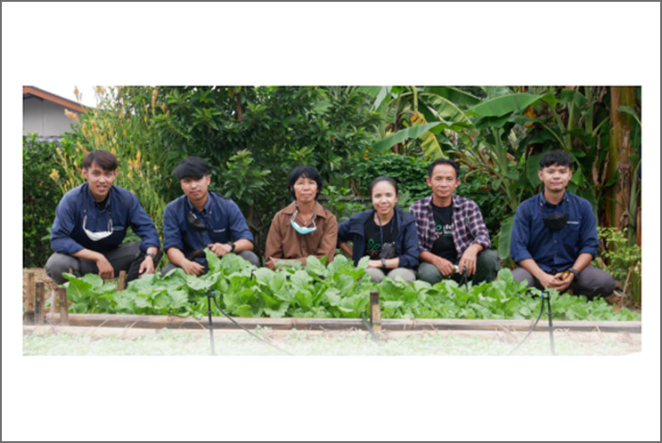
Hands-on workshop on bringing simple science to the
community:
-
Transferring knowledge and workshops on community-based
water management and the underground water banking to
the local communities in 3 Dois
-
Creating community-based water management learning
ecosystems as examples for upland areas.
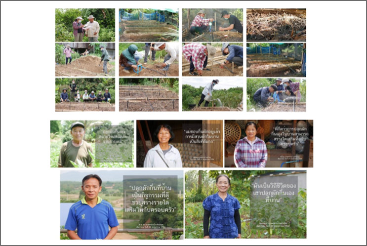
-
Transferring knowledge and understanding of soil
deterioration, preserving soil in high slope areas (Mae
Pang Subdistrict, Sop Tia Subdistrict, and Mae Lan
Subdistrict are watershed areas both inside and nearby
national park that are upland), and improving soil
degraded agricultural areas.
-
Adjusting the soil for the vegetable plantation using
local knowledge and waste materials under several
activities such as “cooking the soil for the vegetables”
and “building edible vegetable fence.”
Event Date:
1st August 2022 to 31st January 2023
Budget:
2,000,000 THB
Operational Agency:
Community Water Management Inspired by the Royal
Initiative Fund, American Groundwater Solution, King
Mongkut's University of Technology Thonburi, Maejo
University, Rajamangala University of Technology Lanna, 3
Community Organization Council, and Chonlakon Course Team
Figures of field survey:
Latitude (19.2231081) and Longitude (99.19150813)